Affiliate disclosure: This article contains affiliate links. If you book through our links, SwitzerlandVibe may earn a commission at no extra cost to you.
A beginner hiking trip in the Swiss Alps uses Switzerland’s 65,000-kilometer marked trail network alongside mountain trains and cable cars. Stick to yellow T1 walking paths and white-red-white T2 mountain trails such as Männlichen to Kleine Scheidegg, Bachalpsee, and Val Roseg between late June and early October.
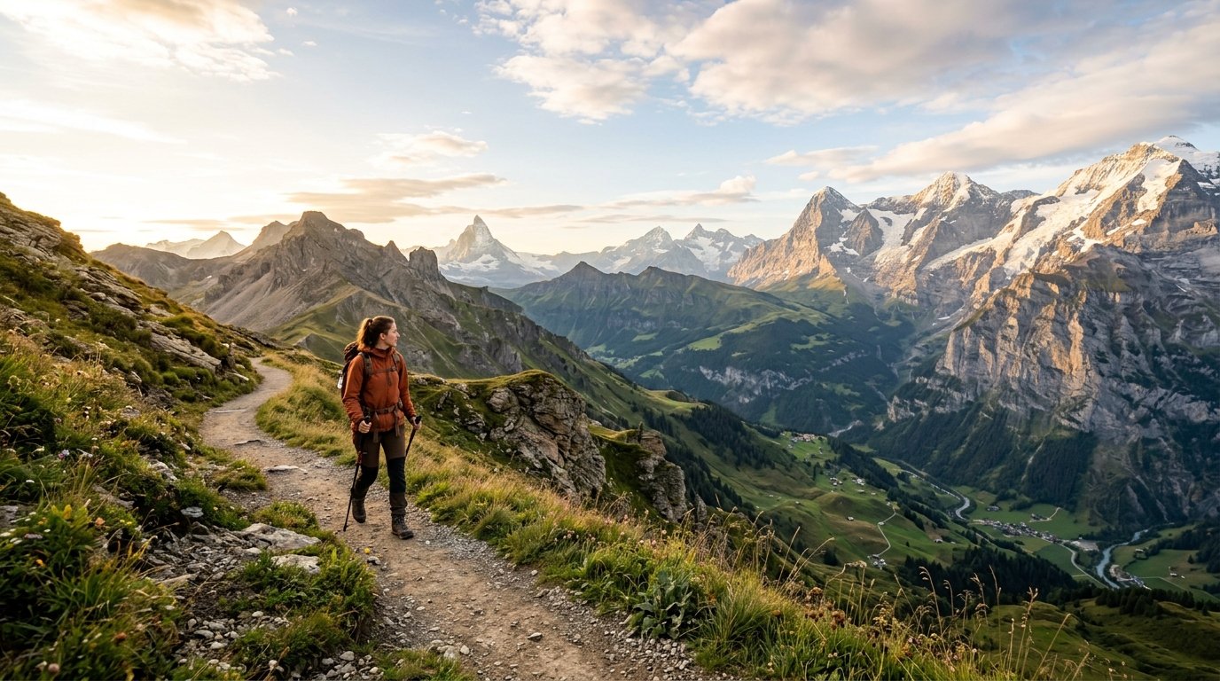
Why the Swiss Alps Suit First-Time Mountain Hikers
Switzerland maintains more than 65,000 kilometers of marked walking paths across every canton. National and cantonal trail teams grade, sign, and repair these paths each spring and summer.
Unlike remote wilderness ranges, Swiss mountains connect directly to cogwheel trains, cable cars, and PostBus lines on the Swiss Federal Railways (SBB) network. Beginners can ride a gondola above the tree line, walk a well-graded ridge trail for two hours, and ride a train back down to the valley before afternoon clouds build.
How to Read Swiss Trail Signs and the SAC Scale
Every marked trail in Switzerland follows the Swiss Alpine Club (SAC) grading scale, created in 1934. Trail signs use three color codes to show path difficulty and required footwear. Check live trail status and closures on SchweizMobil before you set out:
| SAC Grade. | Trail Sign Color. | Path Conditions. | Who It Suits and Required Footwear. |
|---|---|---|---|
| T1 (Hiking Trail). | Yellow signs and diamonds. | Wide, smooth gravel or dirt paths with gentle slopes under 20% and no drop-offs. | Great for all beginners and families. Trail running shoes or sturdy sneakers work well. |
| T2 (Mountain Trail). | White-red-white stripes. | Uneven mountain paths with rocks, tree roots, and steeper grades up to 40%. | Good for fit beginners with steady footing. Wear ankle-high waterproof hiking boots. |
| T3 (Demanding Mountain Trail). | White-blue-white stripes. | Steep, exposed rock paths that often have fixed cables and require hand balance. | Not for beginners. Requires mountain experience and zero fear of heights. |
| T4 to T6 (Alpine Routes). | Blue-white markers. | Crosses glaciers, scree fields, and rock faces with high fall risk. | For trained mountaineers with ropes, crampons, or a certified guide. |
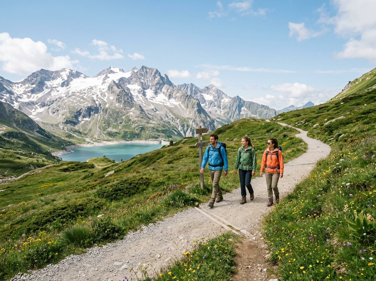
Essential Gear Checklist for a Beginner Alpine Hike
Mountain weather shifts fast above 1,500 meters, even in July. Pack these core items for any half-day or full-day walk:
- Broken-in footwear: Low trail shoes work on yellow T1 paths, while ankle-supporting waterproof boots are needed on white-red-white T2 trails. Walk at least 30 to 50 kilometers in your boots before your trip.
- Three clothing layers: Wear a breathable synthetic or merino wool base shirt, a warm fleece mid-layer, and a hooded waterproof rain jacket. Never wear cotton shirts or jeans on mountain trails.
- Daypack (20 to 30 liters): Carry 1.5 to 2 liters of water per person, trail snacks, a small blister and first-aid kit, SPF 50+ sunscreen, UV 400 sunglasses, a sun hat, and a small headlamp.
- Offline maps and battery: Download offline trail maps on the free Swisstopo or SchweizMobil app and carry a 10,000 mAh power bank.
- Trekking poles: Collapsible walking poles take strain off your knees on long downhill sections.
2 Classic Beginner Hikes in the Jungfrau Region
The Jungfrau Region around Interlaken, Grindelwald, and Lauterbrunnen offers easy lift access to high alpine viewpoints.
1. Panorama Trail: Männlichen to Kleine Scheidegg
Ride the Grindelwald-Männlichen gondola up to 2,229 meters (or walk to the 2,342-meter Royal Walk viewpoint), then follow the wide gravel path south toward the Eiger, Mönch, and Jungfrau north faces.
- SAC Grade: T1 (easy walking trail).
- Distance and Time: 4.5 km one-way; about 1 hour 15 minutes of walking.
- Elevation Change: Gentle descent of about 280 meters to Kleine Scheidegg.
- Lift Cost: One-way gondola ticket from Grindelwald Terminal to Männlichen costs about CHF 34 to CHF 42 (50% discount with the Swiss Travel Pass or Half Fare Card).
- Timing Tip: Start before 9:30 AM for clear morning light on the Eiger rock face.
2. Bachalpsee Lake from Grindelwald First
Ride the First Gondola from Grindelwald up to 2,168 meters and follow the wide mountain track to the twin alpine lakes of Bachalpsee at 2,265 meters.
- SAC Grade: T2 (mountain trail with a short initial climb).
- Distance and Time: 6 km round trip; allow 1.5 to 2 hours with photo stops.
- Elevation Change: 97 meters of ascent each way.
- Lift Cost: Round-trip First Gondola fare is CHF 76 for adults (50% off with the Swiss Travel Pass or Half Fare Card).
- Timing Tip: Reach the lake before 10:00 AM when calm water reflects the Schreckhorn peak.
4 Quiet Hidden Trails Across Switzerland
Step outside the busiest Jungfrau lifts to hike quiet valleys with full Swiss trail signage and public bus links.
1. Val Roseg Glacier Valley, Pontresina (Graubünden)
This wide gravel valley walk in the Engadine follows a glacial river through larch and pine woods toward the Roseg peak group.
- SAC Grade: T1.
- Distance and Time: 14 km round trip from Pontresina station (3.5 hours), or walk one way and return by horse carriage from Hotel Roseg Gletscher.
- Elevation Gain: About 200 meters over 7 kilometers.
2. Aletsch Panorama Trail: Moosfluh to Bettmerhorn (Valais)
Walk high above the 20-kilometer Great Aletsch Glacier, the largest glacier in the Alps and a UNESCO World Heritage site.
- SAC Grade: T2.
- Distance and Time: 4 km between Moosfluh and Bettmerhorn viewpoints (1.5 hours), or 10 km for the full ridge walk (3.5 hours).
- Lift Access: Take the cable car from Betten valley station up to Bettmeralp (about CHF 38 round trip with connecting lift options).
3. Foroglio Waterfall Path, Val Bavona (Ticino)
Located in Italian-speaking Ticino, this stone-built valley features a 110-meter waterfall dropping over granite cliffs behind Foroglio village.
- SAC Grade: T1 around the village, with short T2 stone steps near the waterfall viewpoint.
- Distance and Time: 3 km round trip from Foroglio bus stop; about 1 hour.
- Transit: Ride the bus from Locarno to Bignasco and Cavergno, then transfer to the Val Bavona PostBus.
4. Seealpsee Loop from Wasserauen (Appenzell)
Climb from the rail stop at Wasserauen into the Alpstein hills to reach Seealpsee, an emerald lake surrounded by steep limestone peaks.
- SAC Grade: T2 (steep paved and gravel forest climb).
- Distance and Time: 6 to 10.5 km loop depending on route; allow 2.5 to 3.5 hours.
- Elevation Gain: About 300 to 450 meters; no cable car ticket needed.
Best Time to Hike in the Swiss Alps in 2026
High mountain paths above 2,000 meters stay under snow until mid-June. Use this seasonal calendar to plan your dates:
| Season. | Trail and Weather Conditions. | Best Regions to Pick. |
|---|---|---|
| Late June to Mid-July. | Wildflowers bloom in the valleys; some snow patches remain above 2,200 meters. | Lower Bernese Oberland, Appenzell, and sunny south-facing Valais trails. |
| Mid-July to Late August. | All high passes open and valley days reach 22 to 26°C; afternoon heat storms can form. | All high alpine regions; start walks before 8:00 AM. |
| September to Early October. | Cool, clear air, fewer crowds, and golden larch forests from late September. | Engadine, Aletsch Arena, and Ticino; check autumn lift closing dates. |
| Mid-October to May. | Early snow closes high summer trails; winter walking paths open in December. | Low valley paths in Lauterbrunnen, Lake Lucerne, and Ticino. |
Check altitude forecasts each morning on the official MeteoSwiss portal. Air temperature drops by about 0.65°C for every 100 meters you climb.
How to Plan a Swiss Hiking Trip on a Budget
Trails in Switzerland are free to use, so your main costs are mountain lifts, rooms, and food:
- Compare rail and regional passes: The Swiss Travel Pass gives 50% off most mountain gondolas, while the Regional Pass Bernese Oberland covers many local lifts in full.
- Book valley base towns early: Sleeping in Interlaken, Spiez, or Brig often costs less than staying in car-free resort villages. To compare rates near rail hubs, check Swiss valley and mountain hotels on Trip.com.
- Fly into Zurich or Geneva: Both airports have direct SBB rail stations inside the terminal. You can compare flight prices to Switzerland on Aviasales before locking in your trail dates.
- Pack supermarket lunches: Buy bread, Swiss cheese, nuts, and fruit at Coop or Migros and refill your water bottle for free at village drinking fountains (unless a sign says Kein Trinkwasser).
6 Non-Negotiable Alpine Hiking Safety Rules
Follow these six rules on every mountain walk:
- Check weather and trail status twice: Look up MeteoSwiss and local lift webcams before you board the morning gondola.
- Start early and finish by 4:00 PM: Summer storms usually build late in the afternoon, and mountain cable cars stop running between 4:30 PM and 5:30 PM.
- Share your route: Tell your hotel front desk or a contact which trail you are walking and when you plan to return.
- Save emergency numbers: Dial 1414 for Rega Swiss Air-Rescue or 112 for general emergencies, and install the free Rega app to share GPS coordinates.
- Turn back if weather drops: If dark clouds, high wind, or thunder roll in, head down to the nearest lift station or hut right away.
- Stay on marked paths: Keep dogs on a leash near grazing cows, close pasture gates behind you, and carry all trash back to the valley.
For more trail ideas and trip planning, see our guides to Swiss mountain hikes for beginners, the best hikes in the Swiss Alps for 2026, and our Switzerland first-time visitor guide.
Frequently Asked Questions About Swiss Alps Hiking
Can a complete beginner hike in the Swiss Alps without a guide?
Yes, yellow T1 trails and gentle T2 paths like Männlichen to Kleine Scheidegg or Bachalpsee are wide, clearly signed at every junction, and need no guide during summer.
Do I need hiking boots for beginner trails in Switzerland?
Sturdy walking shoes or trail runners are enough for smooth yellow T1 paths, while waterproof ankle-high hiking boots are best for rocky white-red-white T2 mountain trails.
Are Swiss mountain cable cars included in the Swiss Travel Pass?
The Swiss Travel Pass covers valley trains, buses, and boats in full, plus a few mountain excursions like Rigi and Stanserhorn, and gives 50% off most high-alpine gondolas such as First and Männlichen.
What should I do if a thunderstorm starts while I am on a trail?
Leave exposed ridges right away, descend toward the nearest cable car station or alpine hut, and stay away from lone trees, metal fences, and summit crosses.
Editorial standards
Why trust this guide
- Route-checked. Itineraries, transfers and timings are verified against current public-transport schedules and operator pages.
- Honest comparisons. Hotel areas and tours are compared on real value — affiliate links never change the recommendation.
- Transparent. Some links are affiliate links; the disclosure is shown on every guide.
This guide is informational travel content, not professional travel, financial or legal advice. Always confirm prices, opening times and conditions with the official provider before you book.