Swiss Travel Pass: Honest Cost Review 2026
Grindelwald Travel Guide 2026: The Bernese Oberland Railway (BOB) connects Interlaken Ost to Grindelwald in 35 minutes. Trains run approximately every 30 minutes throughout the day. Use the sections below to compare transport, hikes, seasonal limits, and costs before planning your route. Swiss Alps Hiking Guide for Beginners 2026: Hidden Trails…
Editorial note: this guide was reviewed for structure and usefulness, with the FAQ drawn from the article’s own sections rather than generic questions. 2026 Guide: 9 Car-Free Swiss Alpine Villages You Must See
Disclosure: This guide contains affiliate links. When you book through them, we earn a small commission at no extra cost to you. All recommendations are based on honest editorial assessment. Bernese Oberland Travel Guide 2026: Passes, Budgets, and…
Grindelwald Travel Guide 2026: Best Hikes, Views & Hidden Gems
Grindelwald sits at 1,034 metres in the Bernese Oberland, directly beneath the north face of the Eiger. It is one of the few places in Switzerland where stepping off a train means looking up at one of the most formidable mountain walls in the Alps. That first view stops most people mid-stride.
What sustains a two or three-night stay is the hiking network above the village, direct access to Jungfrau-region peaks and gondolas, and a village centre that has stayed authentically Swiss rather than becoming a theme park. This guide gives you the logistics, current prices, and honest caveats you need to plan a visit worth every franc.
How Do You Get to Grindelwald in 2026?
The Bernese Oberland Railway (BOB) connects Interlaken Ost to Grindelwald in 35 minutes. Trains run approximately every 30 minutes throughout the day. A one-way ticket costs around CHF 11.20 at standard fare. Swiss Travel Pass holders travel free on this connection.
From Zurich: Take an IC train to Interlaken Ost (approximately 2 hours), then the BOB for 35 minutes. Total: around 2 hours 40 minutes. Full-fare SBB ticket approximately CHF 74 each way; Swiss Half Fare Card halves this. (source: U.S. travel advisories)
From Bern: Direct IC trains to Interlaken Ost take about 50 minutes, then 35 minutes on the BOB. (source: EU tourism statistics)
From Geneva: Allow 2 hours 45 minutes via Bern and Interlaken Ost.
By car: Parking exists at Grindelwald Terminal for those driving in, but cars are not useful inside the village. The train is faster from every Swiss city of consequence.
Swiss Pass planning tip: The Jungfrau railways (Firstbahn, Männlichenbahn, Jungfrau Railway) are partially covered by the Swiss Travel Pass. Jungfraujoch still carries a surcharge, but the Pass gives a 25-50% reduction depending on the line. Run the numbers before you buy versus paying point-to-point. For a deeper breakdown, see our Swiss train routes guide.
Grindelwald First Cable Car and Cliff Walk
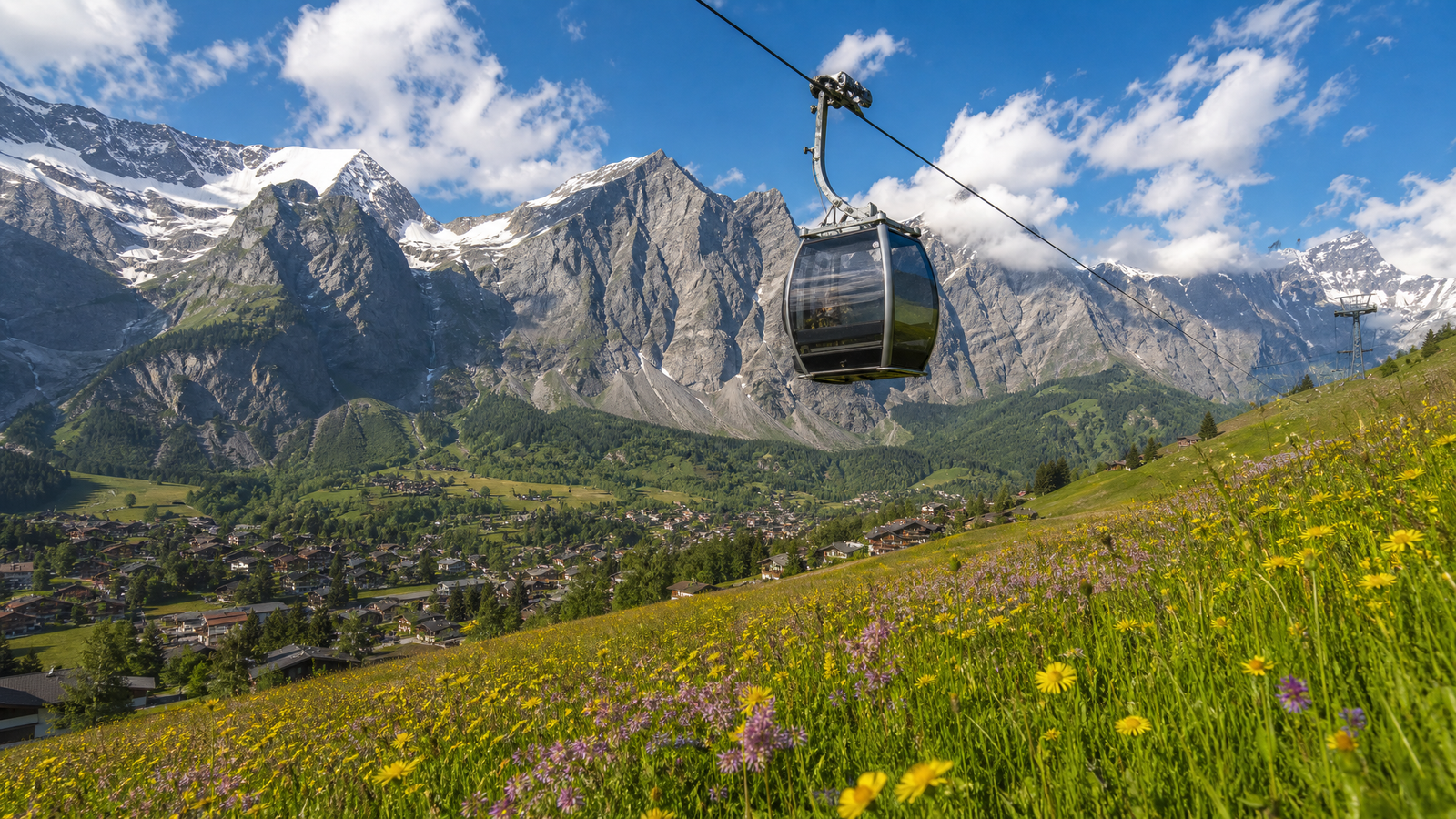
The Firstbahn gondola departs from the lower village and reaches First station at 2,168 metres in 25 minutes, stopping at Bort (1,570 m) and Schreckfeld (1,955 m) en route. These intermediate stops are useful: many hikers ride to First and descend on foot via Schreckfeld or Bort to reduce total elevation gain and avoid the return gondola queue.
2026 ticket prices (source: jungfrau.ch):
– Round-trip adult: approximately CHF 68-76 depending on season
– Swiss Travel Pass discount: approximately 25%
– Jungfrau Travel Pass: free
Book online the evening before your visit. Morning queues at the gondola base between 9:00 and 11:00 in July and August can add 30-45 minutes. An 8:00 departure avoids most of this.
First Cliff Walk by Tissot
The Cliff Walk is a series of walkways, a suspension bridge, and an open lookout platform cantilevered 45 metres above the canyon floor. It takes 20-30 minutes to complete and is included in the standard gondola ticket. From the platform, the view stretches across the valley to the Schreckhorn and Wetterhorn.
The walk is accessible late May to mid-October, weather permitting. Check current status on jungfrau.ch before your visit. It is not physically demanding, but it is exposed: those uncomfortable with heights should assess this honestly before committing.
Adventure Activities at First
The First Flyer zip-line runs at over 80 km/h for approximately 800 metres above the alpine terrain (approximately CHF 29 per person, additional ticket). Mountain carts, Trotti bikes, and the First Glider are also available at extra cost. Book these in advance during peak season; on a busy July day, walk-in slots can disappear by 10:00.
What Are the Best Hiking Trails in Grindelwald?
Grindelwald has over 270 marked hiking routes covering every fitness level. The main season runs late June through early October; higher routes including Bachalpsee and the Cliff Walk area remain snow-covered before mid-June. Below are the four trails that deliver the clearest value.
Bachalpsee Lake Hike (Easy, 6.2 km return)
This is the standard recommendation from First station, and the reputation is deserved. The trail starts at First (2,168 m) and follows a wide gravel path for 3.1 km to Bachalpsee lake (2,265 m). The lake is glacially formed and reflects the Schreckhorn and Finsteraarhorn cleanly on calm mornings, particularly before 9:00.
- Distance: 6.2 km return from First station
- Elevation gain: approximately 100 m
- Duration: 1.5-2 hours return
- Difficulty: Easy; suitable for families and most fitness levels
- Best time: July to September, mornings
The trail continues from Bachalpsee to Faulhorn (2,681 m), adding 6 km each way and roughly 2 additional hours. That extension is moderate to strenuous and rewards with 360-degree views across the Bernese Alps. Most visitors stop at the lake and return; the Faulhorn extension suits those with a full day and solid hiking legs.
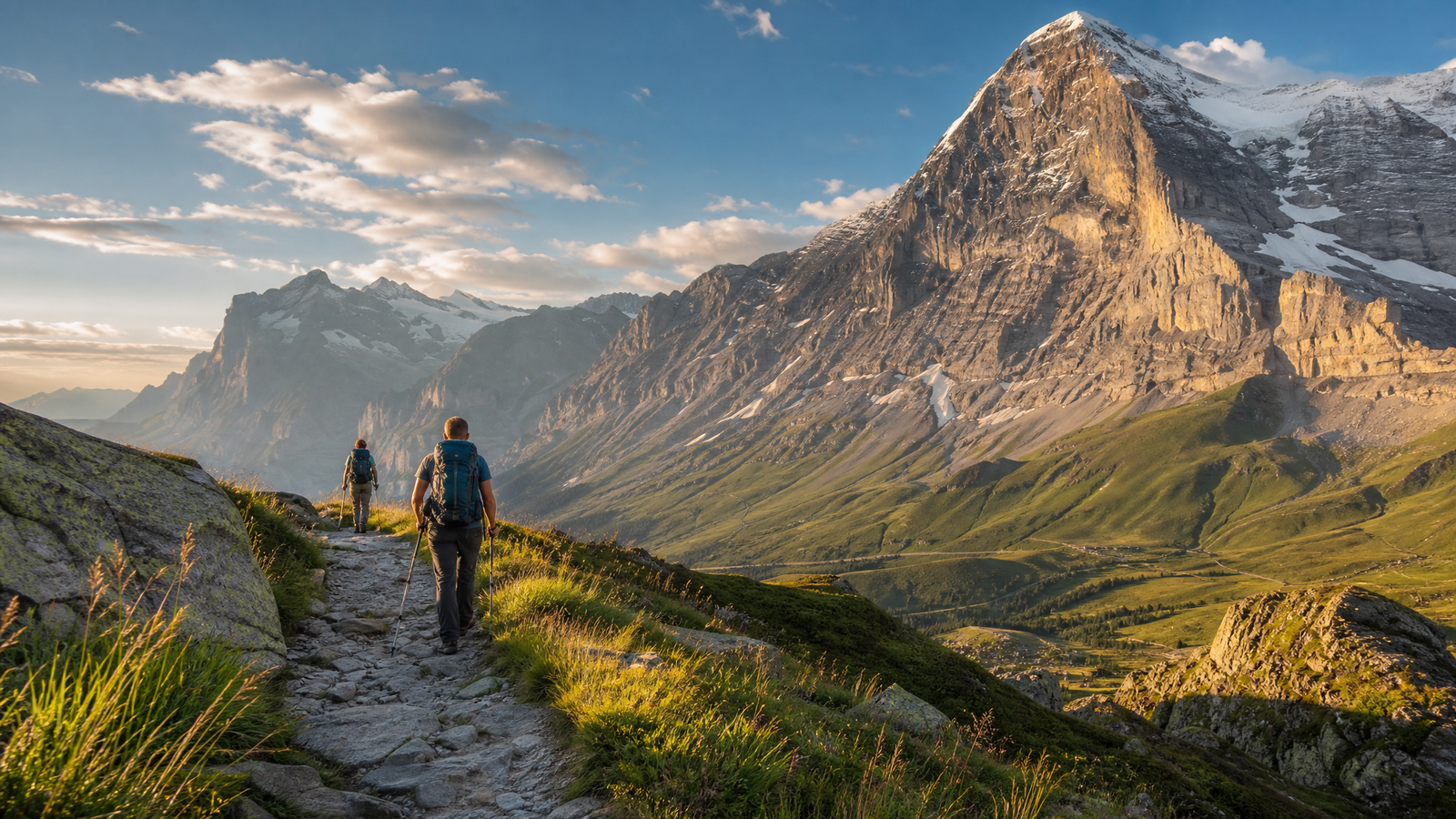
Eiger Trail (Easy to Moderate, 6 km one way)
The Eiger Trail runs from Eigergletscher station below the north face to Alpiglen, continuing down to Grindelwald Grund. The wall looms directly above the trail for most of the descent: 1,800
Related reading: Gruyeres 3-Day Itinerary: How to Spend 72 Hours in 2026 · Geneva 2026: Jet d’Eau, Old Town & 13 Must-See Attractions
Editorial standards
Why trust this guide
- Route-checked. Itineraries, transfers and timings are verified against current public-transport schedules and operator pages.
- Honest comparisons. Hotel areas and tours are compared on real value — affiliate links never change the recommendation.
- Transparent. Some links are affiliate links; the disclosure is shown on every guide.
This guide is informational travel content, not professional travel, financial or legal advice. Always confirm prices, opening times and conditions with the official provider before you book.